Seeker dApps
TINAGeo
Decentralizing real-world geospatial data.
by Heptone
On a Seeker this opens the app in the dApp Store. Install it on your Seeker: open the dApp Store and search for “TINAGeo”.



About
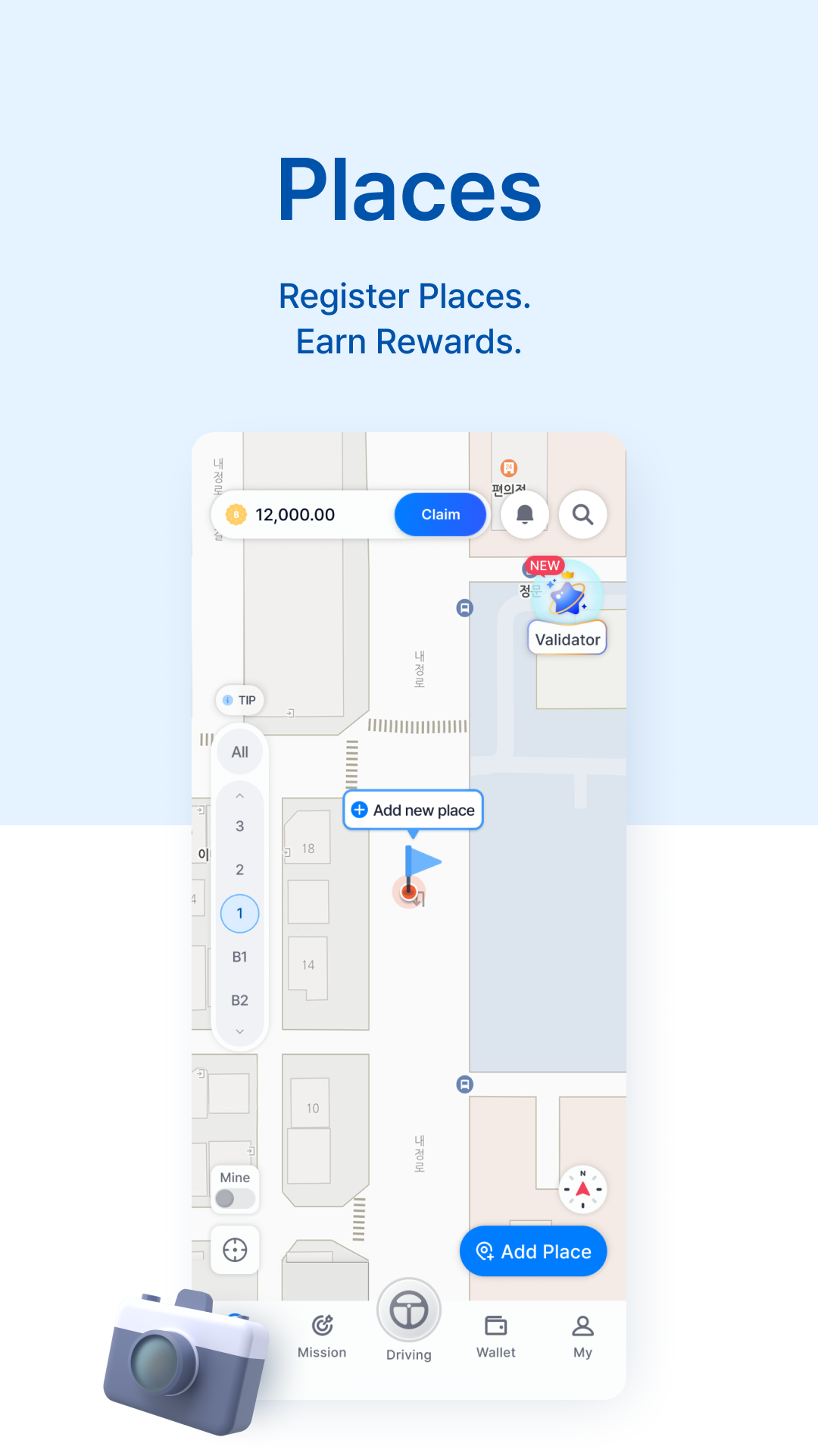
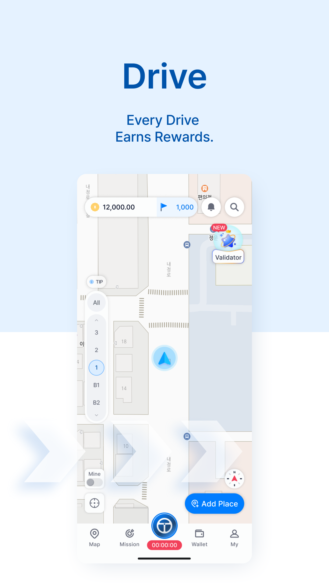
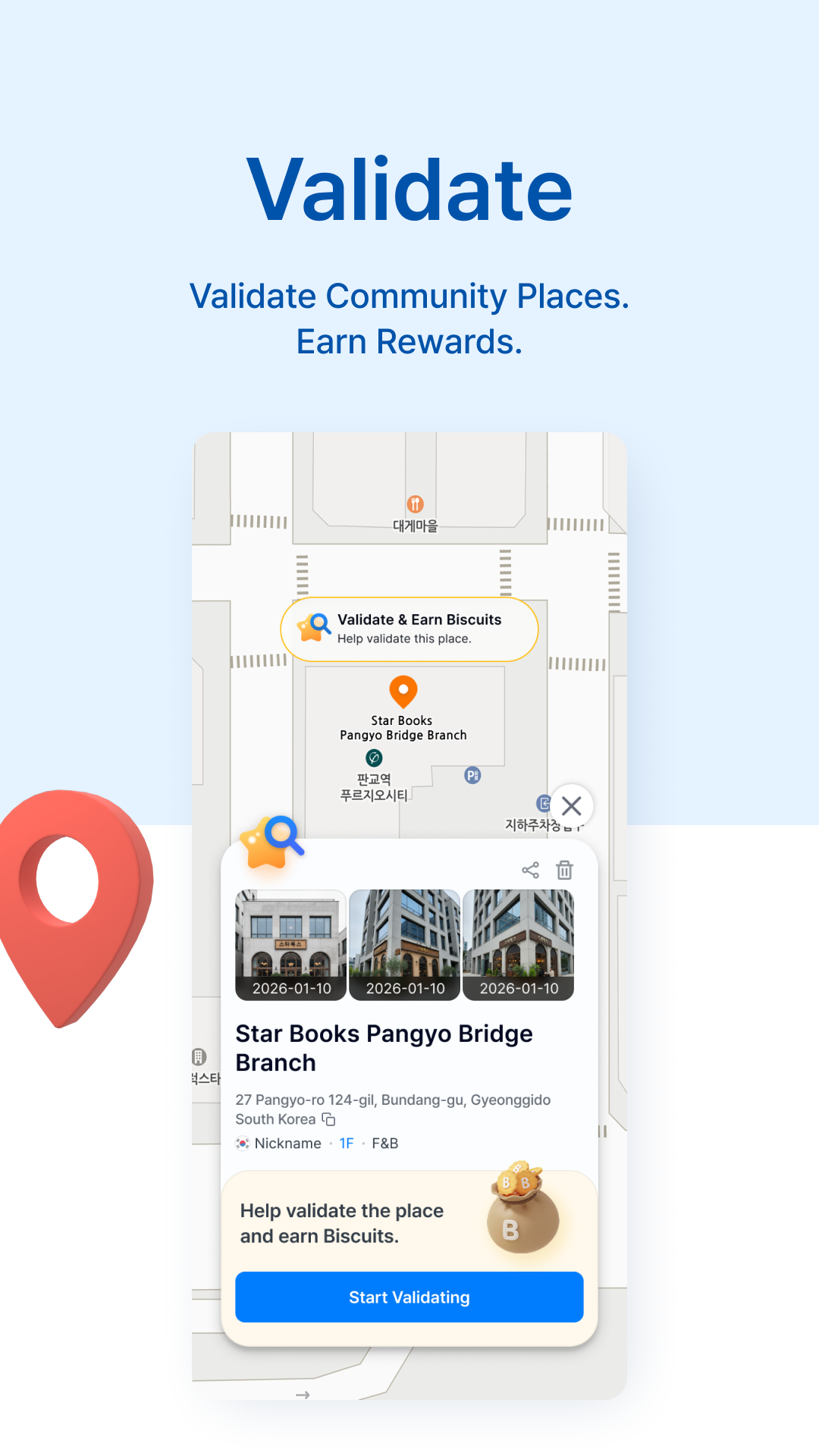
TINAGeo is a Solana-based Geo-DePIN application that builds and expands real-world geospatial data through user participation. Through the TINAGeo app, users can register new places, verify existing location information, and participate in location-based missions. Users can also contribute mobility and road data to the network through their everyday driving activities. Valid data contributions are rewarded within the TINAGeo ecosystem, creating an incentive-driven model that continuously expands and improves geospatial data through community participation. TINAGeo also integrates with the optional TINAGeo Dashcam, enabling users to contribute additional road and spatial data through everyday driving. By combining mobile participation, real-world data collection, and on-chain incentives, TINAGeo aims to build an open, scalable, and global geospatial data network. Headline: Build the World’s Geospatial Data Network
What’s new in 1.2.9
TINAGeo is now available worldwide Turn the places you pass every day into rewards. Register places around you, check what's on the map, and earn rewards for the distance you travel. Here's what you can do • Add places near you: cafes, restaurants, shops, bus stops, landmarks • Check if places on the map are accurate and earn extra rewards • Just tap Drive and get rewarded for the distance you travel • Use Compass Mode to see the map facing the way you are • Spot busy areas at a glance with Heatmap Find rewards on the map with TINAGeo.